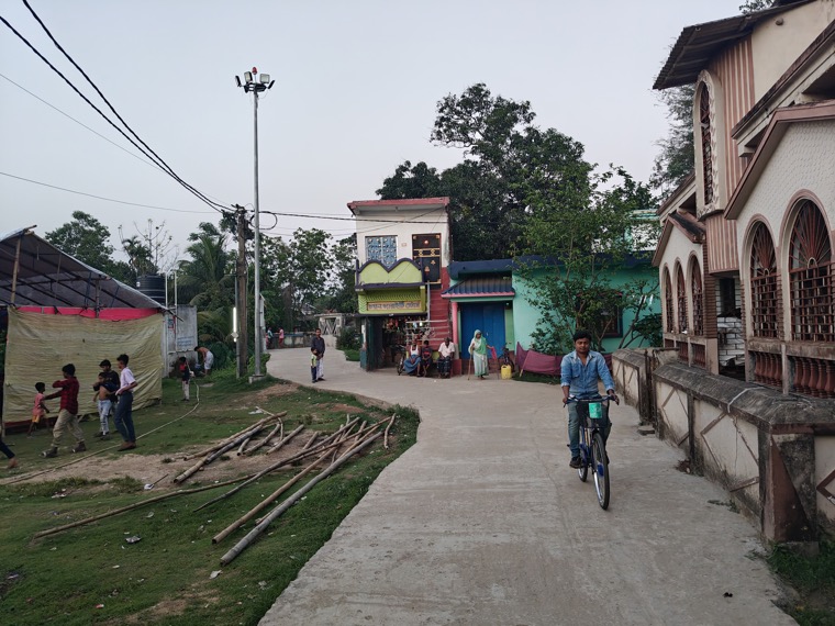
A former village commons on the Bharno plateau. (Demo imagery.)
Every settlement in the Bharno plateau once kept a commons: grazing land, a tank, a sacred grove, a threshing ground. They appear in the oldest village maps as un-numbered space — land that belonged to everyone because it belonged to no one. Over the past thirty years, plot by plot, that space has been fenced, allotted, encroached, and paved.
This photo essay documents what remains. Working from revenue maps and the memories of the oldest residents, we photographed twelve former commons across six villages — some still half-alive as pasture, others surviving only as a name on a bus stop. The images are paired deliberately: what the map promised against what the ground now shows.
This is a demonstration story. The Bharno plateau and its villages are fictional, assembled to showcase the platform's gallery and photo-essay formats: paired images, captioned photo-text spreads, and a swipeable gallery with an optional soundtrack.
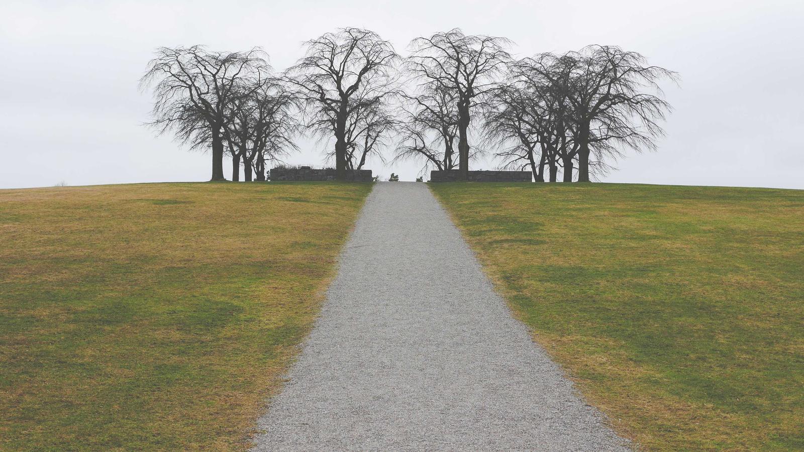

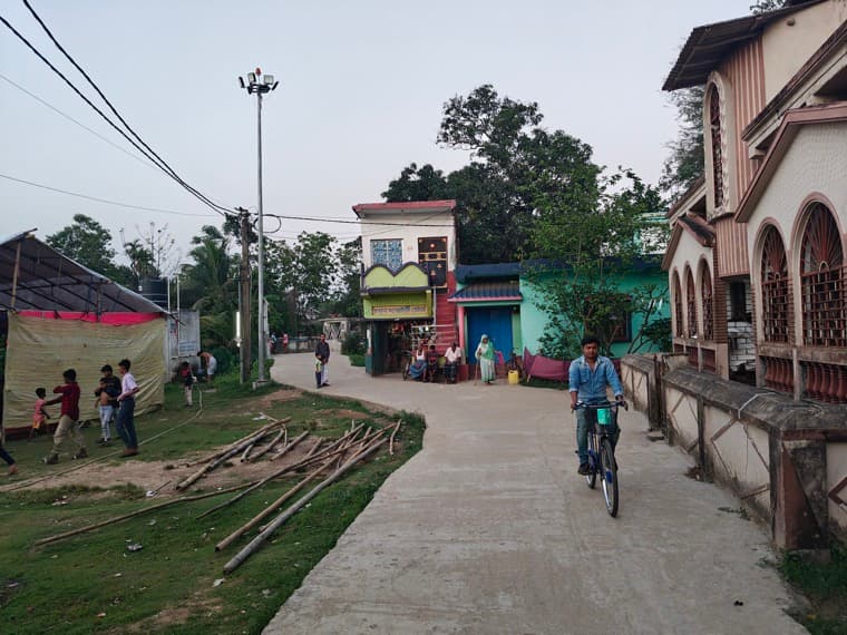
Legal scholars call what happened to the commons "de-recognition by paperwork": land that was never titled could never prove it existed. The villages are now petitioning to have four of the twelve sites restored to the record. This demo shows how the three-column template carries an image-led essay — galleries, diptychs and photo-text spreads doing the narrative work.